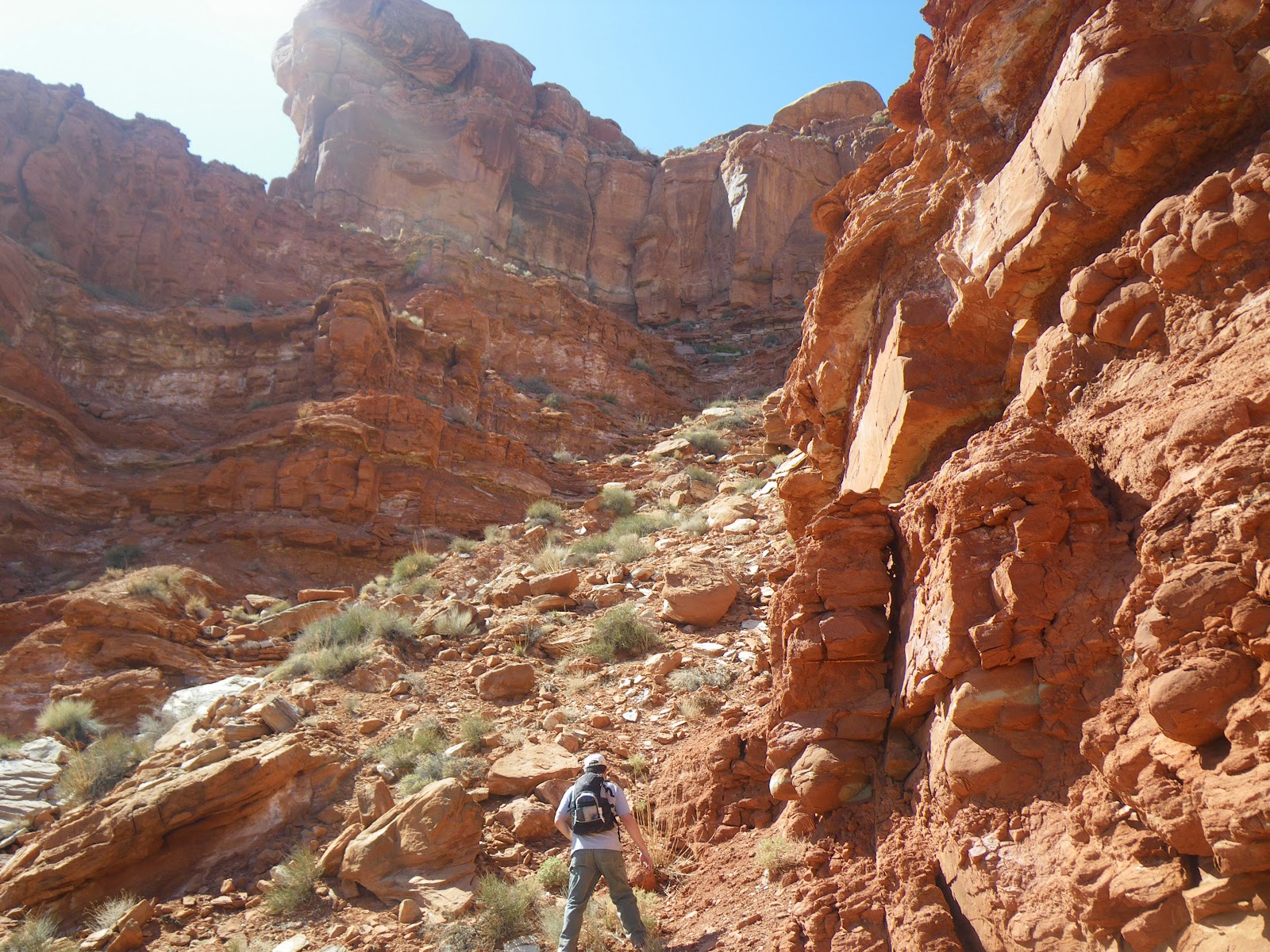
Remember you can click on these picture twice to make them bigger each time.
Probably 17 years ago while traveling Phil and I came across a ruin located in this formation below directly in the center. Remember about clicking on the pictures twice to make make them huge as to be able to really look around.
In any case back then we climbed to the top and took some pictures. That was really something. In all those years we always wanted to revisit this ruin and we did so this last March in 010. Armed with a digital camera we documented our little journey and made a short film about it
here. The second one of this hike is
here.
This was another fun experience and another ruin was found. We figured the Indians entered from the back side and decided we wanted to come back and do that which we did and what these many pictures show or at least attempt to as just did not do so well in that respect. Except for the first the others were all taken the day we made this hike last Tuesday the 27th of Sept 010.
This place is located in the
Valley of the Gods north west of Bluff,Utah. Getting to this is difficult at best no matter from which side you enter. There will be some type of film as well but not for a bit.
This is pretty much where we started from which is on the plateau above the valley. Balance Rock was a reference point but the fact of the matter is we missed this the first day and went past this outcrop the first day not by a bit but by over a mile and this was the second try. And yes we did not have a GPS. The distance is around 2.5 miles maybe a bit more. It's tough no matter which way you come in.
The were small fish hook cactus up here not seen by me anywhere else around
Natural Bridges. This was the first place I noticed them It was very much like the desert in areas of Arizona up here. Liked it a lot.
Then came upon this array of ball cactus. It had rained about a week before and plants were healthy and there was a green tint many places. Not bad for almost October.
Then the Mickey Mouses! These things were huge up here compared to other places.
What it looked like walking out and down to the end.
Saw some small birds and a few lizards is all.
You see the standing water above. In the next formation to the left in the the first picture here take a look at the next picture and the pointer arrow. We don't think there were that many people living out here and that is why we also believe this ruin was used for observation and the second was a place to live. But if there was anyone out there on this one after a rain I bet there may have been a pool party. I did not see this until I looked at the pictures when I got home.
In addition the humps you see in the back round are
Comb Ridge.
It was just plain pretty up there.
Not everywhere but many places you can find chips like these from making tools and arrowheads.
Pottery laying just like it was.
Good stuff and like the top piece the best.
Still a long way away.
A slick rock highway that narrows down as we approach the end.
Were not sure if we would be able to get up this narrow part as you were not going around the ends.
This is the slot one has to take and it's pretty easy. Had to turn sideways once. But still it's a long descent to the end. Compare the next several pictures to get a better idea. Just did not do well on these pictures. This is the only way to get out there from this side. Imagine all those who passed before us.
Real close to the end and stop at the second ruin for a couple better pictures than the first time.
On the right center is where the final climb down is made.
It's right in the middle but yet there is still a another level to go to and a traverse across a small bowl to get out there. No pictures as I handed the camera off to Phil for a video.
So we're here and this is what you see from there and what is cool is the wood in the construction of this.
The following seven pictures are from the trip in March. They are so much better. Want to say nothing was touched or removed from this site. Our footprint was very minimal but have to admit to losing a red rag out of my pocket and a pair of cheap reading glasses. Feel kinda bad about that. Someday someone will find this stuff and say some dumb shit was littering and they'll be partially right.
Here's Phil and I as we start our way up and back to the starting point. I see I still have that rag in my pocket.
Initially we were a bit secretive about where this is but now since it is so difficult to do there are just not that many who can or would even consider doing this if any blogger buddies would want more info I'd give it to them. I don't want much more than this in a day. It took 7+ hours to do this. The fiasco miss the day before included the fact we did not have enough water. Brought more this day and it still could have used more.
But the good part is going back again to the same general area and will use the camp ground at Natural Bridges as base. What is out there is the
Grand Gulch with so many ruins accessible by backpacking or long day hikes only. Spring can not get here fast enough for me.